

The jagged, prehistoric, colorful characteristics are enjoyed by Havasuians throughout the year in rain, snow and best of all…shine. These ancient protrusions have an extensive history of occupancy. From its early indigenous inhabitants, to the ever flourishing Lake Havasu City, the Colorado River makes its way
through these gorgeous natural structures.
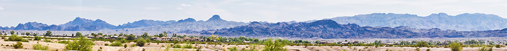
The mountain ranges and landforms that surround Lake Havasu City, Arizona fall within the Basin and Range physiographic province – characterized by abrupt changes in elevation and alternating between narrow faulted mountain chains and flat arid valleys or basins.
The rhythms of the Lower Colorado River, its riparian and aquatic resources, and the natural resources in the dry adjacent desert and mountains all molded the economic and cultural life of the native Mojave peoples who once occupied the area recognized today as Lake Havasu City. To live with the river, the Mojave Indians responded to its fluctuations, occasionally retreating to its surrounding desert and mountains.
As in days of old, this hot and arid landscape continues to define and temper the lifestyle and recreational choices practiced by Lake Havasu City residents. Mountain ranges adjacent to Lake Havasu City rise up to 5,000 feet and then drop abruptly down to floodplain bottomlands bordered by terraces or “mesas,” which merge with bajada slopes. Massive entrenched washes drain mountain slopes. All of this makes for some pretty spectacular scenery for the enjoyment of Lake Havasu City residents and visitors alike.
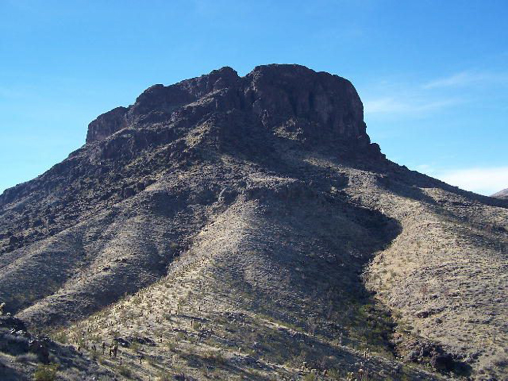
Mohave Mountain Range
Mohave Mountain Range
Behind Lake Havasu City, to the east, is the Mohave Mountain Range named for the Mojave Indians. This northwest trending range parallels a southeast-flowing stretch of the Colorado River, the Arizona-California border. The Mohave Mountain Range measures 18 miles in length and six miles in width. Its highpoint is Crossman Peak, with a summit at 5,148 feet above sea level. At this height it towers nearly a mile above Lake Havasu City, built on a 448 foot elevation on the Colorado River. From its height, Lake Havasu sparkles as a glistening expanse of emerald blue. Looking south one can see Parker Dam, and then looking north, one can see the broad expanse of the Havasu Wildlife Refuge as it embraces the Colorado River.
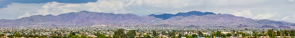
Chemehuevi Mountain Range
Chemehuevi Mountain Range
Looking west across Lake Havasu one spots the Chemehuevi Mountain Range. The Chemehuevi Mountains (named for the Chemehuevi Indian Tribe) are found at the southeast border of San Bernardino County in southeastern California adjacent to the Colorado River. The Chemehuevi Mountains lie in a north-south direction and are approximately 15 miles in length. The mountain range is horseshoe shaped, with the open end facing eastward toward the Colorado River. The southwest portion of the Chemehuevi Range reaches 3,694 feet at its highpoint, Chemehuevi Peak. The mountains of this range change dramatically from light-colored granite peaks to dark red and gray volcanic spires and mesas.
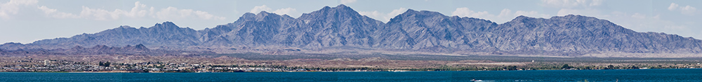
Whipple Mountain Range
Whipple Mountain Range
Looking southwest from Lake Havasu City one can see the exceedingly rugged Whipple Mountain Range off on the far horizon. The Whipple Mountain Range stretching 20 miles north and south and 25 miles east and west, were named for US Army Lieutenant Amiel Whipple, who explored and surveyed the Lower Colorado Region during the 1850s. The highest point of the Whipple Mountain Range is Whipple Mountain at 4,131 feet. The Whipple Mountain Range, located across the Colorado River from Lake Havasu City in eastern San Bernardino County, California, is punctuated by a distinctive vertical monument known as Monument Peak. Cupcake Mountain is nestled within the Whipple Mountain Range. It was named by the Army Corps of Engineers in the early 1940s while building an airport runway on the Island. A light dusting of snow gave the appearance of frosting on top of the mountain.
Lake Havasu LIVING Magazine would like to thank George Ward Shannon, Jr., Ph.D., BLM LHFO, and Archaeologist for all of the information for this article. We truly appreciate what the Bureau of Land Management does for our entire area. They maintain a library of information from A to Z about our landscape, indigenous animals, our waterways and so much more, and they are at the forefront of preserving all of this as well.