

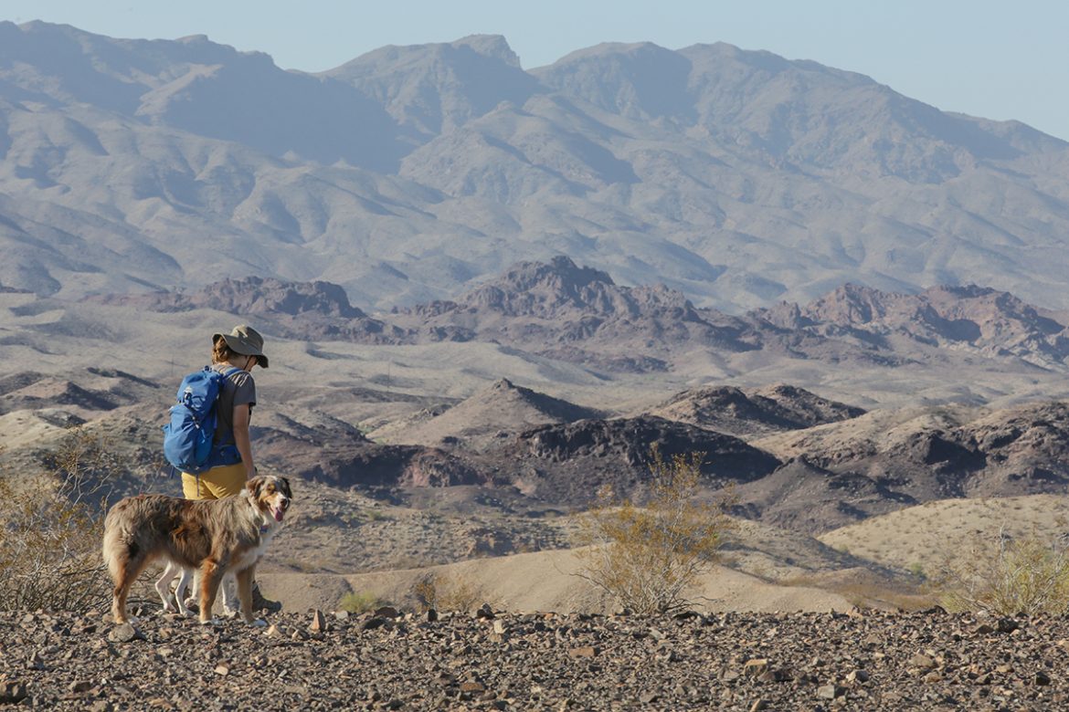
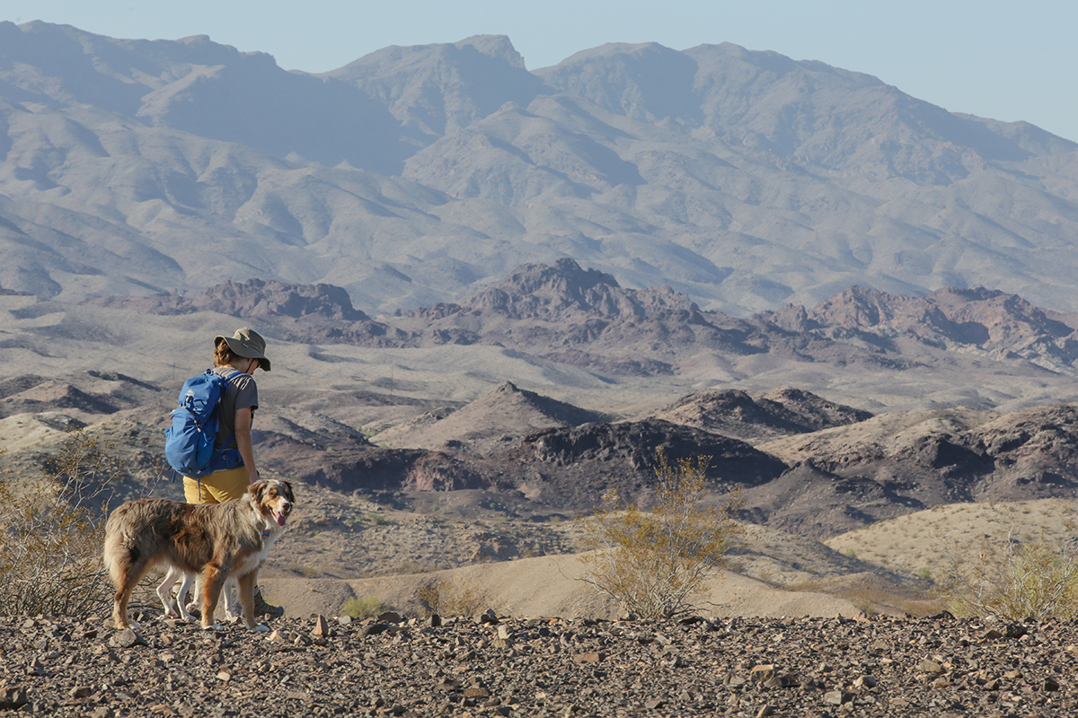
With cooler weather and a hiking trail literally in any direction you turn, Havasu is the ideal place to get out and enjoy the stunning vistas and amazing wildlife. After all, the spectacular desert southwest is renowned as one of the top camping/hiking destinations in the United States!
For the novice hiker, Havasu has a number of trails suited for that first time out. Getting started can include a trip around the Island, Mohave Sunset, and Shoreline Trails, all easily accessible from the downtown area, but we’re talking about getting out of town into the outskirts of civilization (one doesn’t have to travel far to do that in Havasu). If you’re new to hiking, or are just visiting Havasu and not acclimated to the dry, desert heat, there are a few simple guidelines that will make your experience a pleasant one. Take plenty of water—that applies no matter where you travel in Mohave County. Wear a hat, sunscreen, and protective glasses that not only block harmful UV radiation, but also protect your eyes if you take a spill. And remember to dress appropriately. Sturdy hiking boots or shoes with hard soles and clothing that fits loosely are a must. Wearing layers helps so that you can shed clothing as you heat up. And finally, never hike alone and be sure to let someone know where you’re hiking and when to expect you back. It’s also a good idea to take a whistle when hiking for if you happen to get separated from said fellow hikers, you should consider buying a backpack with a whistle attached. You can find these products on sites like Arkadia Supply.
Good, now that we have all the basics out of the way, all that is left is to get out and enjoy you. Whether your hike is long or short, you’re in for a real treat. There are plenty of maps available highlighting the many hiking trails around town and many modern hikers rely on GPS coordinates to find their way around. The beauty of this area is that the scenery is always changing—from stunning views of the lake to desert vistas with colorful rock formations and a variety of flora and fauna to delight the senses. It’s quite possible that you’ll run into some big horn sheep perched on a crag or spot a coyote crossing a wash. Have your camera (or cell phone) ready for the once in a lifetime photo that you can share with your family and friends. If you’re hiking near the lake, keep an eye open for a number of bird species that call Havasu home. Herons, egrets, and great horned owls can routinely be spotted.
For the rock hound, all three rock types are present, from sedimentary to metamorphic, and igneous. Many of the formations, although mysterious and ominous looking, are all remnants of erosion from millions of years of various geologic upheavals in the area. A number of abandoned ghost towns and mines and mining camps also dot the nearby topography. We’ve selected a few of our favorite hikes for you to enjoy, starting with the easiest and working our way up to moderate intensity.
Chemehuevi Wash Trail
An easy, scenic hike through a short canyon leading to a wide wash that ends at the lake. Once there, you have the option of camping at two BLM campsites–Bluebird Cove, or Wren Cove (on the left). Each site has picnic tables and restrooms.
Trailhead Location: South end of Powell Drive
Vehicle required: Car
Time to Trailhead from London Bridge: 15 minutes
Trailhead GPS coordinates: N 34°27.131’ W 114°17.263’
Length of hike: 4 miles
Hiking time: 2 hours
Directions to trailhead: Go south on Hwy 95; turn right on Acoma Blvd. and make an immediate left on Sweetwater Ave. Turn right on Powell Drive and park at the end.
Mockingbird Wash Trail
Follow a wide wash down to Lake Havasu’s Solitude Cove. This area is very peaceful and reflective and also has picnic tables and restrooms.
Trailhead Location: South end of Powell Drive
Vehicle required: Car
Time to Trailhead from London Bridge: 15 minutes
Trailhead GPS coordinates: N 34°27.131’ W 114°17.263’
Length of hike: 4 miles
Hiking time: 2 hours
Directions to trailhead: Go south on Hwy 95; turn right on Acoma Blvd. and make an immediate left on Sweetwater Ave. Turn right on Powell Drive and park at the end. An alternative trailhead is from Oro Grande Blvd.
Water Tank Trail
This hike takes you past the scenic Aubrey Hills to a fenced-in wildlife watering area maintained by Arizona Game & Fish. The final destination is just below Horse Hoof Point (also known as Shiprock Mountain). Many hikers report seeing big horn sheep in the vicinity.
Trailhead Location: Near Milepost 173, Highway 95
Vehicle required: Car
Time to Trailhead from London Bridge: 20 minutes
Trailhead GPS coordinates:
N 34°25.392’ W 114°12.284’
Length of hike: 6.2 miles
Directions to trailhead: South on Hwy 95 to around mile post 173, about 4 miles out of town. Off to the right is an electrical substation. Park at the entrance road near the gate.
Pittsburg Mines Trail
A hike along the Pittsburg Mines Trail reveals an abandoned mining area located along the foothills of the mountains. The mines have since been filled in or fenced. The hill at the end of the hike offers spectacular views of the Lake Havasu City area.
Trailhead Location: Near the north end of Cherry Tree Blvd
Vehicle required: Car
Time to Trailhead from London Bridge: 20 minutes
Trailhead GPS coordinates: N 34°30.301’ W 114°15.098’
Length of hike: 4 miles
Hiking time: 3 hours
Directions to trailhead: From McCulloch Blvd., drive to the north end of Cherry Tree Blvd. Turn right on Tierra Vista, then left on Del Sol to a culvert just past Corte Cabrillo. The trailhead is at the end of the culvert.